


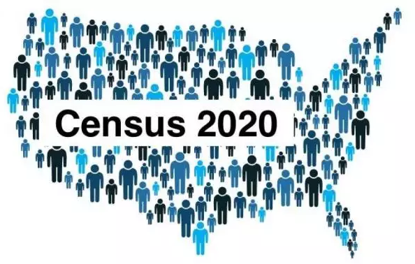
Once every ten years, after the Federal census is completed, elected bodies that are based on districts1 have to review their boundaries and make adjustments.
The County Board of Supervisors are elected on a district basis, so the Board of Supervisors must review and, as needed, modify their district maps. To do that they’ve set up a citizen volunteer commission to receive public input and suggestions, and make a recommendation or propose alternative changes to the Board (I serve on that commission).
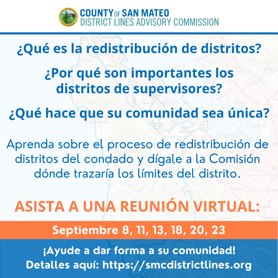
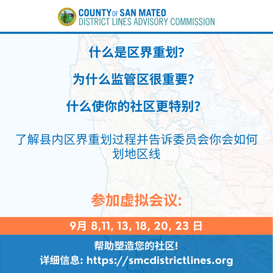
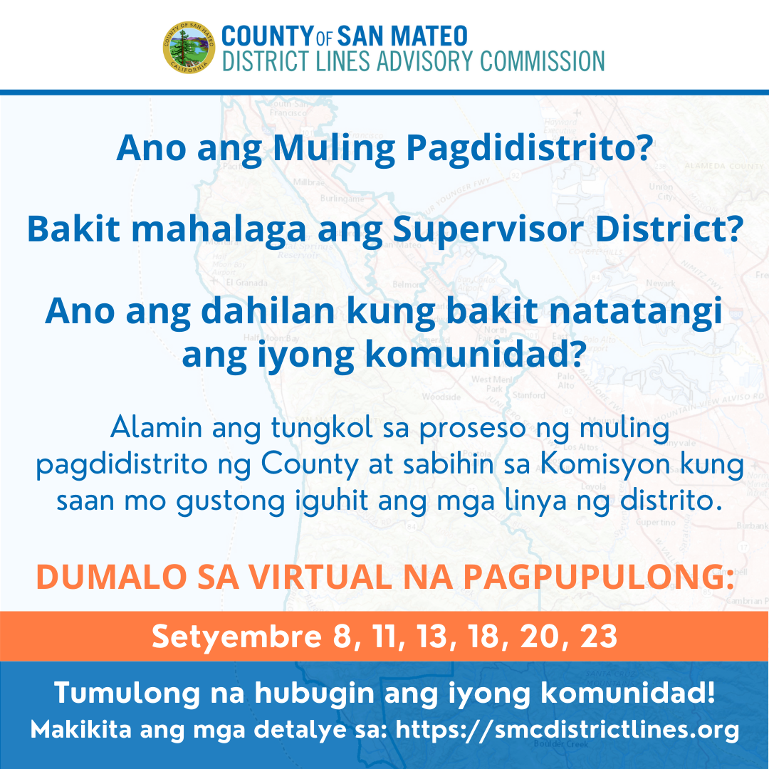
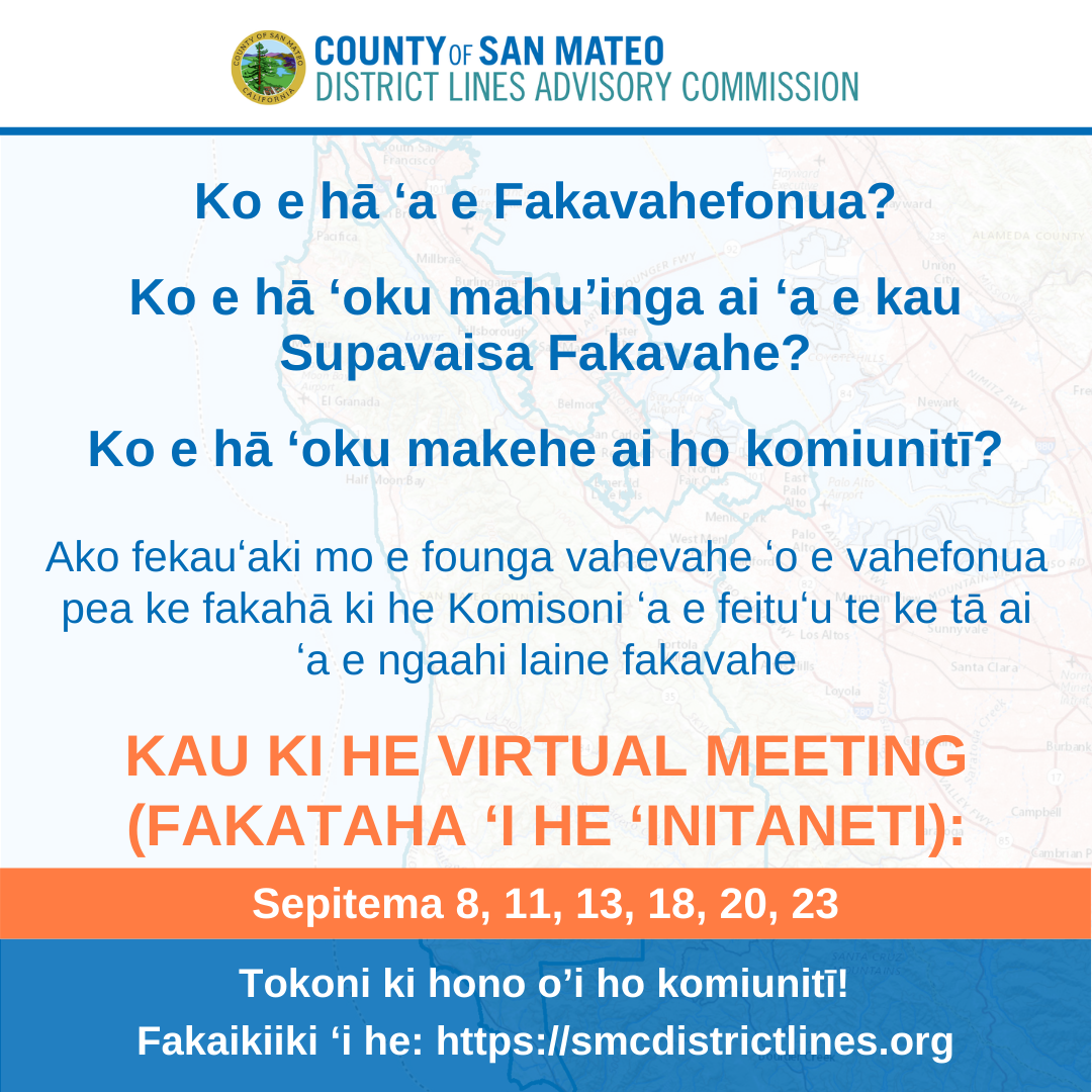
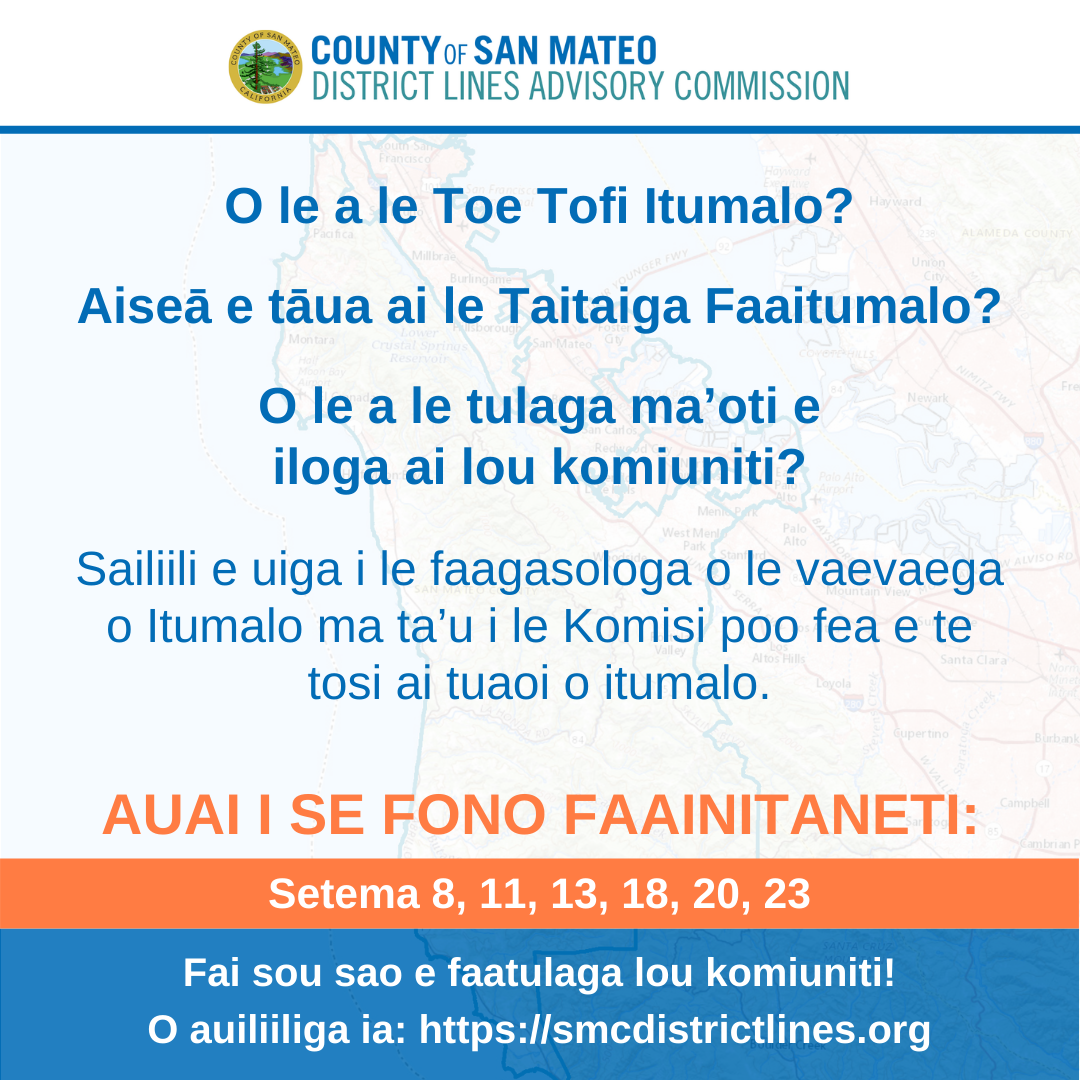
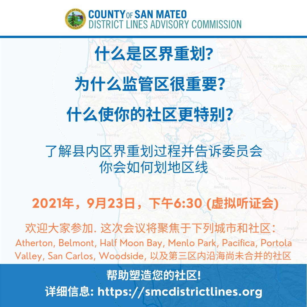
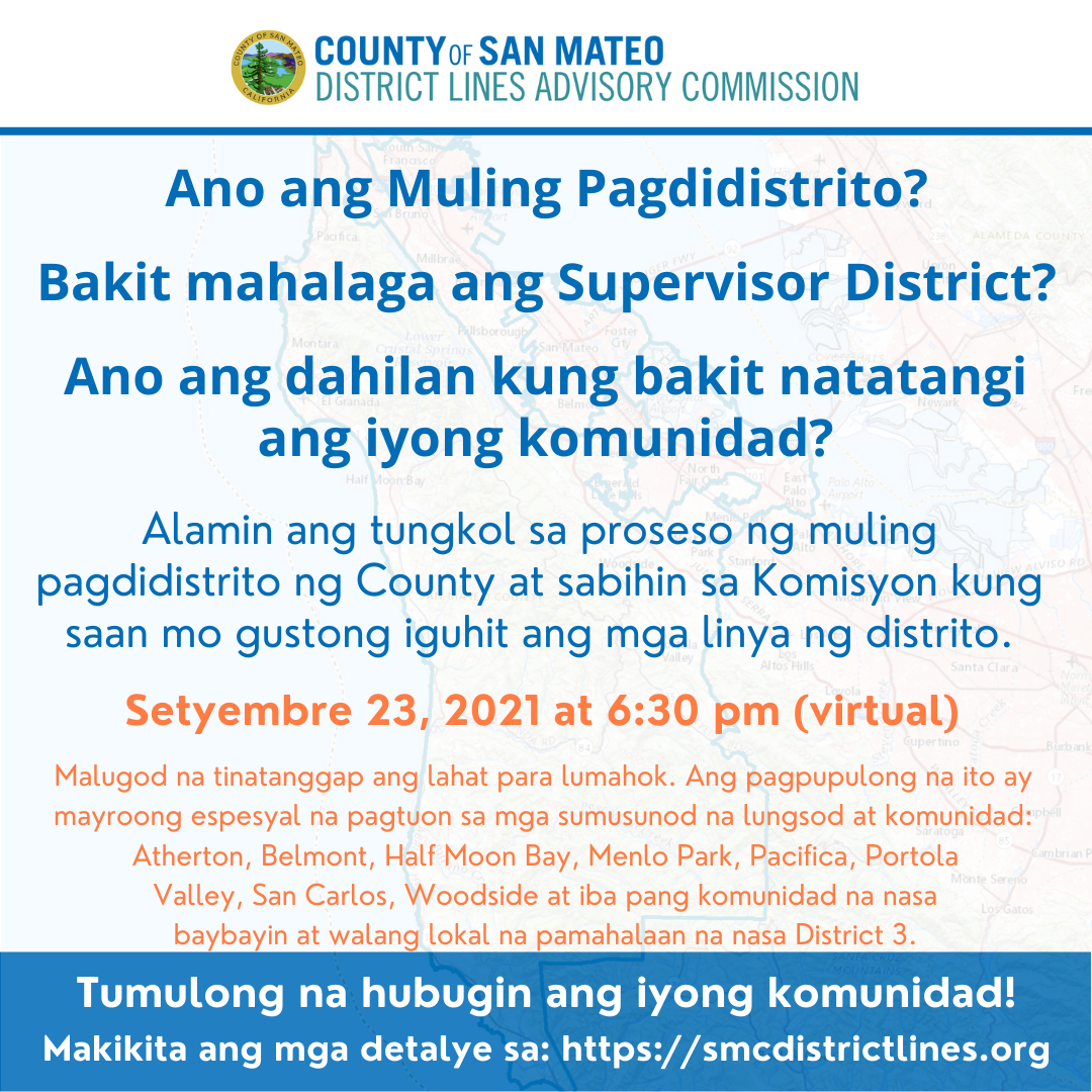
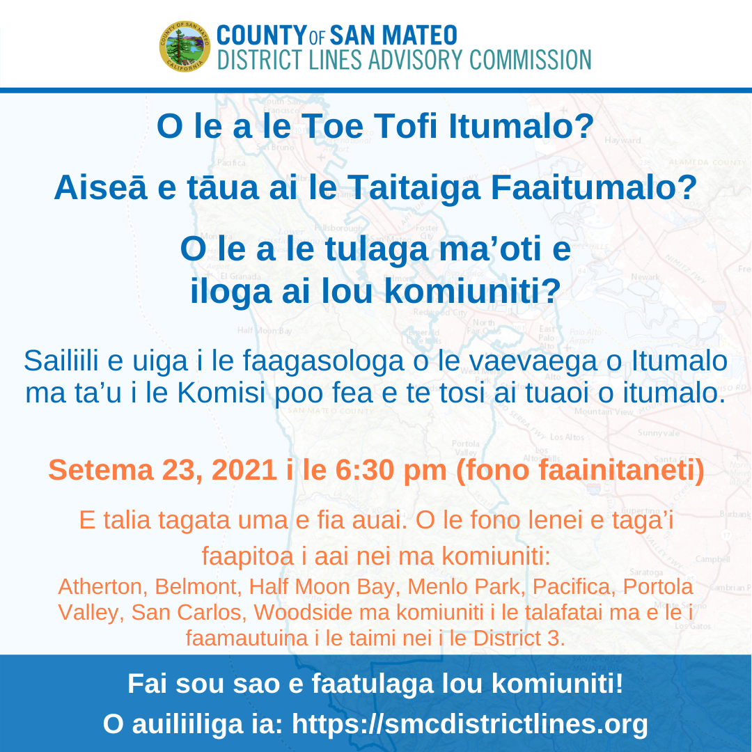
Public input is a key part of the process. There are a number of virtual meetings set up where you can add your two cents, make suggestions, propose boundaries, etc. The County was thorough enough to provide this information in multiple languages (click to enlarge):
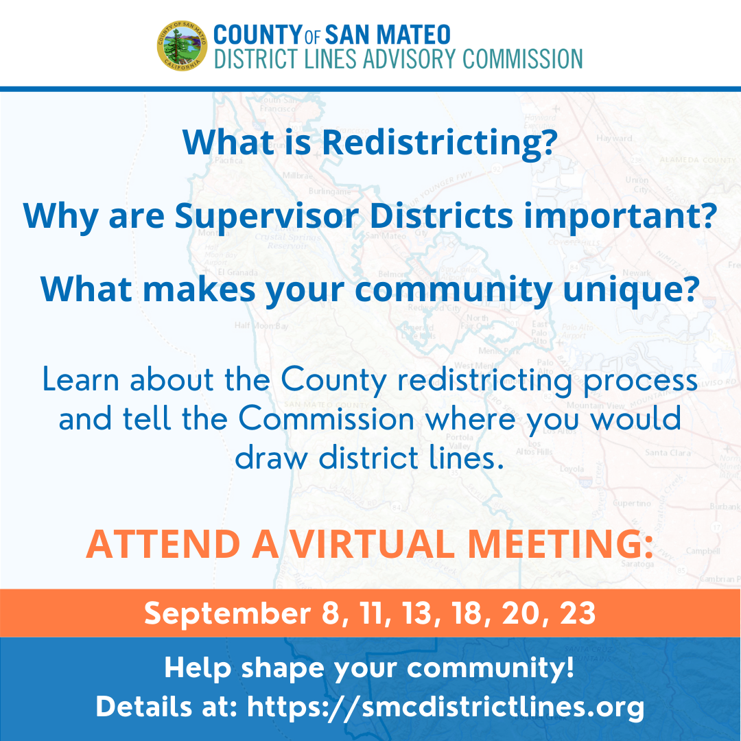
Here are the details for the meeting labeled as being for San Carlos’ district, which will be held on September 23rd at 6:30 PM (click to enlarge):

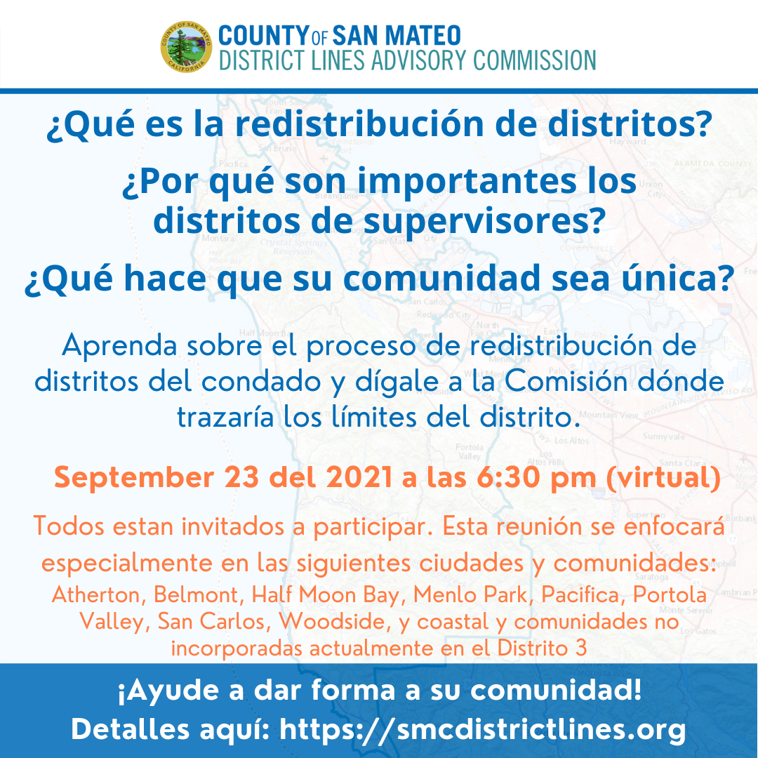
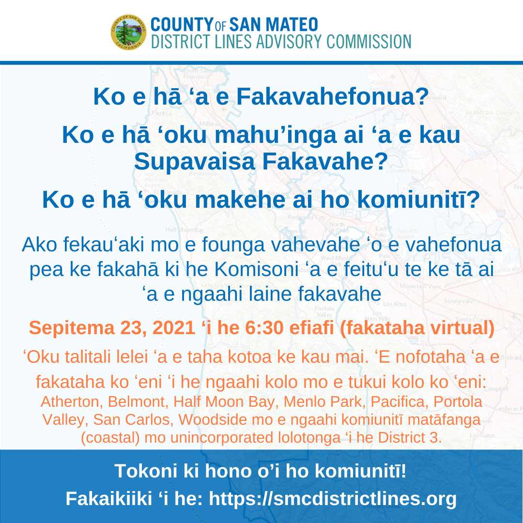
Please keep in mind anyone is welcome to attend any meeting.
Drawing or Modifying District Boundaries
District boundaries must meet a number of constraints. The primary ones are:
- the distribution of voters among districts must be balanced (i.e., the districts have to be all roughly the same size);
- all groups of voters (e.g., ethnic groups, genders, communities of interest) must be treated similarly (i.e., the boundaries can’t be drawn to aid one group at the expense of another);
- boundaries should respect neighborhoods (even if a neighborhood spans more than one city);
- to the extent possible without violating other constraints, boundaries should respect city or town boundaries.
As you can see this is a complex balancing act.
Defining communities of interest is particularly challenging because a community of interest rarely coincides with a traditional, geographically-defined community like a city or town. Instead, a community of interest represents a group of people whose shared values and priorities distinguish them from other communities, have some degree of “coherence” (meaning the values and priorities they share will likely cause their choices at the ballot box to align) and which can be localized geographically.
The group of left-handed people who want to see more public golf courses likely wouldn’t be a community of interest because their membership would span the entire county and, as strongly as they might want more golf courses, that interest would likely not override other priorities (i.e., their votes would likely not be too well aligned). Conversely, the people who live in an area dominated by rental housing — but which spans several jurisdictions — might be a community of interest because they’d be distinct from single family and condo home owners and are localized to a definable area on a map2.
In either case you can see how the community of interest concept is a bit fuzzy. That’s why the political process of weighing alternatives and competing goals comes into play in developing district boundaries.
Create Your Own Map
The County has provided several cool online tools you can use to create your own proposed maps. You can learn about how to use them, and how to submit your work product, here.
I hope you will consider participating in this process. Even if all you do is decide for yourself the current maps are basically okay, that’s important, and you should let the commission know.
As opposed to “at large”, where all electeds are voted on by everyone in the jurisdiction. The San Carlos School Board and the San Carlos City Council are examples of “at large” entities, so census changes don’t affect either. ↩
that can happen because land use regulations, which define where high density housing can be built, are almost always defined geographically ↩